
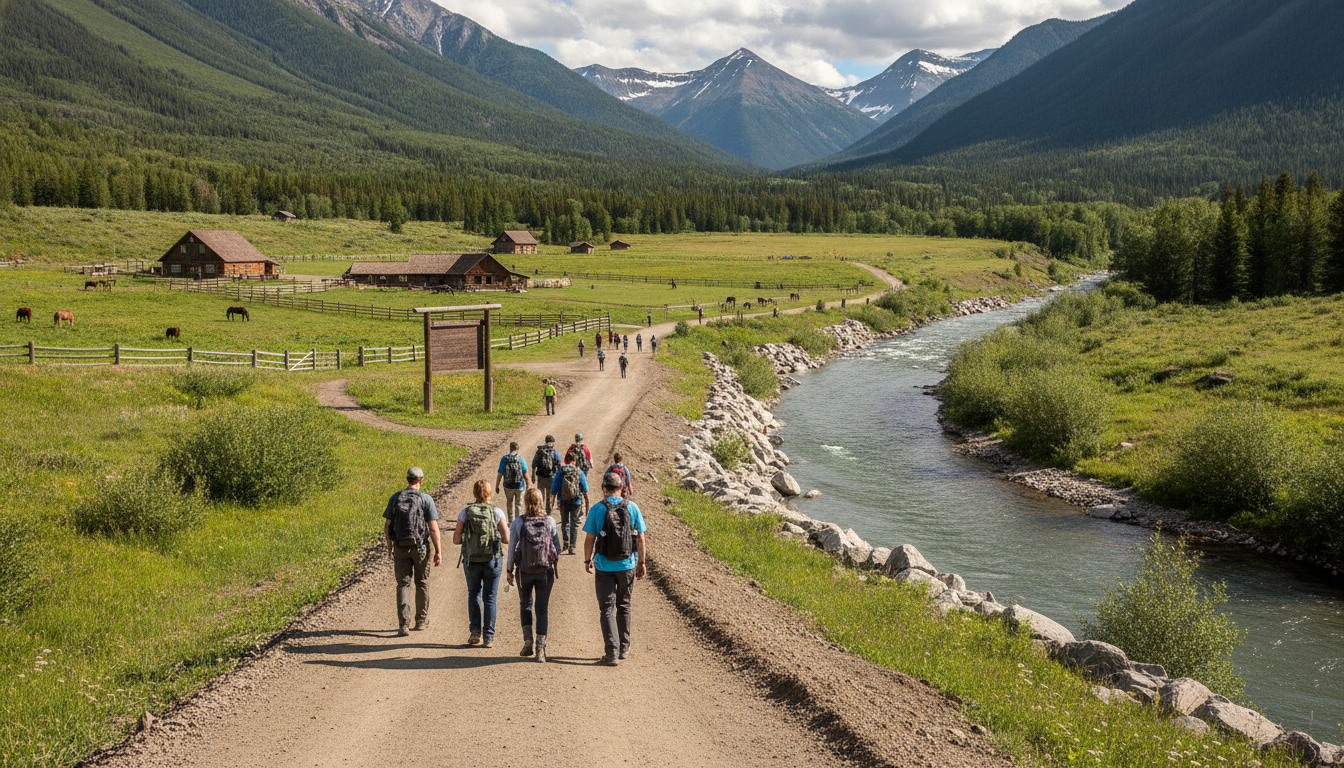
Kananaskis flooding recovery: trails reopen as crews clear storm damage after June 28 rainfall
Kananaskis flooding recovery: Visitors urged to check Alberta Parks advisories as trails and backcountry areas remain closed while cleanup and repairs continue.
Kananaskis flooding recovery has begun in earnest after a severe storm that peaked on June 28 forced evacuations, damaged infrastructure and left trails under water and debris. Early July sunshine has dried better-drained routes, but many backcountry campgrounds, day-use areas and sections of trail remain closed while crews assess damage and repair washed-out sections. Local groups and ranch operators are working alongside provincial agencies to prioritize safety and reopen key access points.
June 28 storm produced sudden, concentrated damage
The intense rainfall that struck the Kananaskis region over a 24-hour period on June 28 produced rapid runoff, flash flooding and localized bridge failures that disrupted access and forced evacuations. Several valleys and low-lying trail corridors experienced the greatest damage, with eroded tread, gullied approaches and saturated soils that are slow to stabilize. Municipal and provincial crews responded to road closures and to threats to infrastructure, while search and safety teams monitored creek crossings and bridges.
Emergency responses focused first on removing people from immediate danger and restoring safe lines of travel, and then on assessing the environmental and recreational impacts that will determine when visitors can safely return. The concentrated nature of the rainfall — heavy volumes over a short window — amplified erosion along steeper drainages and produced fallen trees and other debris that now need removal. That same intensity means recovery work must balance haste with careful assessment to avoid further harm to fragile trails and riparian zones.
Trail monitoring led by local organization reveals uneven conditions
Friends of Kananaskis Country has been surveying trail conditions and reporting on which corridors have recovered and which remain hazardous. Executive director Trevor Julian said trails that sit on better-drained terrain have largely dried after recent sunny weather, but routes that follow valley bottoms or cross eroded slopes continue to show significant damage. The group is prioritizing inspections of high-use paths and popular day-use areas to identify immediate hazards such as undermined trail edges and plugged drainage structures.
Julian emphasized that trail recovery in mountain environments is often uneven and dependent on local topography and soil composition. Small tributary creeks that surged during the storm have left isolated sections of trail impassable even where nearby routes appear unaffected. His team is coordinating with Alberta Parks and provincial crews to map priority repairs and to advise the public on safe alternatives while work continues. Volunteers are helping with debris clearing where conditions allow, but officials caution against uncoordinated entries into closed areas.
Alberta Parks advisories set reopening schedule and safety rules
Alberta Parks has posted advisories detailing closures, public-safety notices and the phased reopening of campgrounds, trails and day-use sites within Kananaskis Country. Park managers are following a systematic review process that examines bridge integrity, road access, trail tread stability and the risk of further washouts before lifting restrictions. Visitors are being asked to consult the official advisory page before travelling, and to respect closures to avoid creating additional hazards or incurring emergency rescue responses.
Reopening will be staged: short, high-traffic day-use areas and front-country trails that pass structural checks are likely to be prioritized, while backcountry campgrounds and remote day-use sites will remain restricted until crews can complete comprehensive remediation. Park staff have also warned that transient debris — logs and boulders deposited during the flood — can remain a hazard long after visible water recedes, and that users should avoid creek crossings where banks are unstable or where Tripwire and bridge supports may be undermined.
Boundary Ranch showcases rapid on-site mitigation and resilience
Boundary Ranch, a local outfitter and guest operation, deployed trenches and temporary land bridges to protect staff movement and to keep operations running where possible. Owner Rick Guinn credited pre-existing mitigation work and quick field responses with helping the ranch avoid catastrophic damage, although road closures cost the business a brief interruption. Guinn noted that some preventive action taken after the 2013 floods helped this time, and he urged quicker infrastructure mitigation to reduce future risk.
Guinn also cautioned that accumulated deadfall from past floods remains a downstream hazard and can plug bridge openings when water levels rise. He described how management decisions, such as installing Traco-style temporary access systems and preemptive trenching, allowed Boundary Ranch to maintain animal care and restart guest activities on trails that have dried. His account highlights the role private operators can play in immediate mitigation and underscores the continued vulnerability of infrastructure to sudden high flows.
Debris, deadfall and bridge vulnerability remain top concerns
Across affected watersheds, crews are finding large volumes of woody debris and sediment mobilized by the storm, much of which is stranded on banks or caught against culverts and bridge abutments. That material presents two problems: it destabilizes slopes as it decomposes and it can act as a dam during subsequent high-water events, increasing the chance of bridge plugging and washout. Officials advise that even modest springboard flows could trigger movement of that stored debris.
Inspectors are closely examining bridges that showed signs of scouring or approach erosion, and some structures will require repair or replacement before traffic can be safely restored. Management teams are also assessing longer-term works such as improved channel armouring, debris catchment points and re-routing of vulnerable trail segments. While short-term repairs may reopen access in stages, larger infrastructure projects will need detailed engineering assessments and funding commitments to reduce future risk.
Visitor guidance: planning, preparation and respect for closures
Visitors planning trips to Kananaskis in the coming weeks should check Alberta Parks advisories for the latest closure information and route-specific warnings. Even on trails that appear passable, users should expect short detours, unstable banks near water crossings, and possible single-lane access over temporary land bridges. Recreational groups and individuals are asked to carry appropriate navigation equipment, to practice low-impact travel, and to avoid attempting repairs or clearing debris without coordination with park staff.
Park authorities and local groups recommend that backcountry travel be deferred until official reopenings are announced for specific campgrounds and multi-day routes, particularly those that rely on creek crossings or bridges. For day users, staying on designated, inspected paths reduces the risk of triggering further erosion and helps authorities manage the flow of people through recovery zones. Those who encounter significant trail damage or hazardous conditions should report them to Alberta Parks to assist in prioritizing repairs.
Community efforts and agency coordination are driving the Kananaskis flooding recovery, but public cooperation remains an essential part of the process. Volunteers help with non-technical tasks and route monitoring, and private operators like Boundary Ranch provide local capacity for mitigation and early reopening of some services. At the same time, provincial crews are conducting technical inspections, and engineers are assessing bridges and roads for safe reinstatement.
Visitors and residents should also be aware of downstream impacts beyond trail corridors, including sediment-laden flows that can affect water quality and fish habitat. Environmental assessments will be needed to measure the full ecological effect of the storm, especially in riparian zones where vegetation and substrate were displaced. These studies will inform restoration work intended to stabilize slopes and re-establish native plantings that help reduce future erosion.
Funding and timelines for larger repairs remain to be finalized, and officials caution that full recovery in the most heavily impacted watersheds may take months rather than weeks. Short-term repairs that restore access to day-use areas and popular front-country trails may proceed quickly where conditions permit, but complex bridge replacements and watershed-scale stabilization projects require design work, procurement and construction windows that fit seasonal field constraints.
As Kananaskis moves through this phase of recovery, mountain recreationists are advised to watch for changing conditions and to plan conservatively. Weather can still deliver localized heavy rainfall that will exacerbate unstable slopes and mobilize debris; a sunny spell does not eliminate the underlying risks created by a major flood. Preparedness, adherence to official advisories and patience with phased reopenings will help protect public safety and support effective, sustainable repairs.
Local groups and park managers have committed to posting frequent updates and to publishing clear maps that identify reopened routes and remaining closures. Those planning to visit should rely on those official updates for travel planning and for guidance on which facilities, such as washrooms and parking areas, are available. Respecting temporary restrictions preserves fragile work zones and allows crews to complete repairs without additional disturbance.
Community leaders say lessons from the June 28 event will inform future mitigation priorities, from improved drainage designs to enhanced debris management at known choke points. The combination of public agency resources, local knowledge from outfitters and the volunteer network of trail stewards is shaping a resilient approach to reopening while reducing long-term vulnerability. The recovery in Kananaskis will test both short-term agility and longer-term planning to adapt infrastructure and trail design to a changing climate.
For now, Kananaskis flooding recovery is proceeding in measurable stages: assessment, safe reopening where possible, targeted repairs and longer-term mitigation planning. Visitors should think of the landscape as healing, with some areas open and safe and others deliberately closed until they can be repaired. Those who value this mountain region are being asked to contribute to its recovery by staying informed, following advisories and exercising caution in the weeks ahead.
The situation remains dynamic; consulting Alberta Parks advisories before travel and heeding local guidance from organizations such as Friends of Kananaskis Country will ensure the best chance of a safe and responsible return to Kananaskis trails and campgrounds.
