
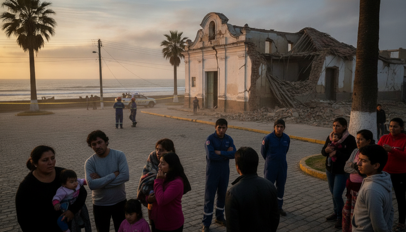
5.1-magnitude Chile earthquake strikes 35 miles west of La Ligua, USGS reports
A 5.1-magnitude Chile earthquake struck 35 miles west of La Ligua on July 6 at 12:15 p.m. Chile Standard Time, USGS data shows; aftershocks and shake-mapping are ongoing.
A moderately strong 5.1-magnitude Chile earthquake shook the South Pacific coast early Monday afternoon, according to the United States Geological Survey. The agency located the epicenter roughly 35 miles (about 56 kilometres) west of La Ligua, Chile, and recorded the event at 12:15 p.m. Chile Standard Time on July 6. Seismologists warned that the reported magnitude and mapped shake intensities could be revised as more data are processed.
Epicenter and reported magnitude
The United States Geological Survey placed the epicentre offshore, west of the coastal town of La Ligua, with an initial magnitude reading of 5.1. That magnitude places the quake in a range typically described as moderately strong and capable of producing noticeable shaking, particularly nearer the coast. Officials noted that preliminary numbers can change as seismologists review seismic waveforms and incorporate additional station data.
Timing and shake-intensity mapping
The agency’s public map highlighted areas where measured shake intensity reached a value of 3 or greater on the Modified Mercalli Intensity scale, a level U.S.G.S. characterizes as “weak” to “light” shaking. All times provided in the agency’s mapping and updates are reported in Chile Standard Time, and the latest shake data were logged shortly after the initial event. Analysts said updates to the shake-severity map may follow as aftershock reports and denser instrument readings are received.
Aftershocks detected in the same area
Subsequent smaller quakes were reported in the vicinity in the hours after the mainshock, consistent with a pattern of aftershocks that commonly follow a primary rupture. Seismologists cautioned that aftershocks can continue for days, weeks or even longer, and while most are smaller than the initial event, occasionally they can approach or exceed the original magnitude. Monitoring teams continued to aggregate reports to determine the geographic spread and intensity of these secondary events.
Population exposure and potential impacts
Population-density overlays used with the seismic data indicate varying levels of community exposure along the Chilean coast and adjacent inland areas. Although the mapped shake intensities were not unusually high, even moderate shaking can cause concern and minor damage to vulnerable structures, disrupt utilities or trigger localized landslides in steep terrain. Local authorities and emergency services in coastal provinces were advised to assess infrastructure and respond to any reported damage or service interruptions.
Scientific review and data sources
The initial information on the quake’s epicentre, aftershocks and shaking intensities was drawn from U.S.G.S. seismic data, with population-density context informed by LandScan datasets compiled by Oak Ridge National Laboratory. Scientists emphasized that the magnitude figure and the associated maps are provisional and subject to refinement as waveform analyses and station cross-checks proceed. The agency’s timeline showed shake data current as of 12:34 p.m. Chile Standard Time on July 6, with aftershock counts updated at 1:31 p.m. Chile Standard Time.
Preparedness and official guidance
Local emergency management bodies typically use early seismic reports to triage response actions, check critical infrastructure and issue advisories where needed, even when initial shaking is categorized as light or weak. Residents in affected coastal and inland areas were urged to follow guidance from municipal authorities, secure hazards in and around buildings and avoid disrupted roadways until inspections are completed. Authorities also reminded the public that continuing aftershocks may occur and to be ready to respond to additional notifications.
The U.S.G.S. and regional monitoring stations will keep refining their assessments over the coming hours and days, and officials have said they will release updates if the magnitude, aftershock pattern or mapped shaking intensities change materially.
