
Google pauses Google Earth AI tool after easy creation of fake satellite images
Google pauses Google Earth AI after users produced fake satellite images, prompting experts to warn it could fuel disinformation and hamper verification.
Immediate pause of the Google Earth AI image option
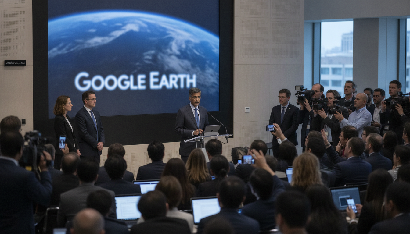
Google announced it has paused a newly released AI image-editing option within Google Earth after users quickly produced manipulated satellite-style images. The company said the decision follows instances where generated images appeared to violate its rules and were shared publicly. Google described the pause as temporary while it develops stricter safeguards to prevent misuse.
How the tool worked and how quickly images were created
The feature allowed users to select a location on Earth and enter a short command to alter the view, producing a new, photorealistic image placed at the correct coordinates and angle. Reporters testing the tool were able to generate images showing the Montreal Olympic Stadium on fire and, in a separate prompt, surrounded by tanks within seconds. Social media users also posted images depicting conflict scenes and attacks created directly within the interface, demonstrating how little technical skill was required to produce convincing falsified imagery.
OSINT specialists raise alarm over verification risks
Henk van Ess, a Dutch researcher and journalist known for open-source intelligence (OSINT) work, raised early alarms after spotting the feature and shared his concerns publicly. Van Ess said he was able to prompt the system to create images of sensitive events — including disasters and military attacks — and that the tool did not consistently block those requests. He warned that the very platform used by investigators and reporters to confirm imagery could be repurposed to make misleading visuals that are difficult to distinguish from authentic satellite photos.
Implications for journalism and investigations
Verification specialists and journalists rely on satellite imagery and mapping tools to corroborate eyewitness reports and document potential war crimes or large-scale disasters. Experts caution that the existence of an easy-to-use image-generation function could be exploited in two harmful ways: by producing fake evidence and by providing bad-faith actors ammunition to deny genuine imagery. A politician or official could point to the availability of such a tool to cast doubt on real photographs, undermining reporting and legal documentation efforts.
Google’s technical mitigations and their limits
Google said images created with the tool include an invisible watermark known as SynthID intended to mark generated content, and that the company’s other systems can flag such images when uploaded or searched. In tests, Google’s Gemini chatbot and Google Images did identify the test images as AI-generated and flagged inconsistencies, but they could not confirm whether the SynthID watermark was present. Independent detectors produced mixed results: some identified the generated images as synthetic while others returned assessments suggesting authenticity, highlighting limits in current detection technology.
Next steps and broader industry context
Google’s removal of the feature came roughly a day after it was rolled out, reflecting a rapid response to public concern and social media circulation of generated imagery. The company said it will work to add stronger guardrails before restoring the option, but did not provide a specific timeline. The incident adds to growing debates across the tech and journalism sectors about how to balance creative AI tools with safeguards against manipulation and falsehoods, and it underscores the continuing challenges faced by image provenance and detection systems.
The suspension of the Google Earth AI tool underscores how quickly generative systems can outpace existing protections and the central role mapping platforms play in public trust. As Google refines its controls, journalists, investigators and the public will be watching for effective technical and policy measures that preserve the utility of satellite imagery while reducing the risk of harmful misuse.
