
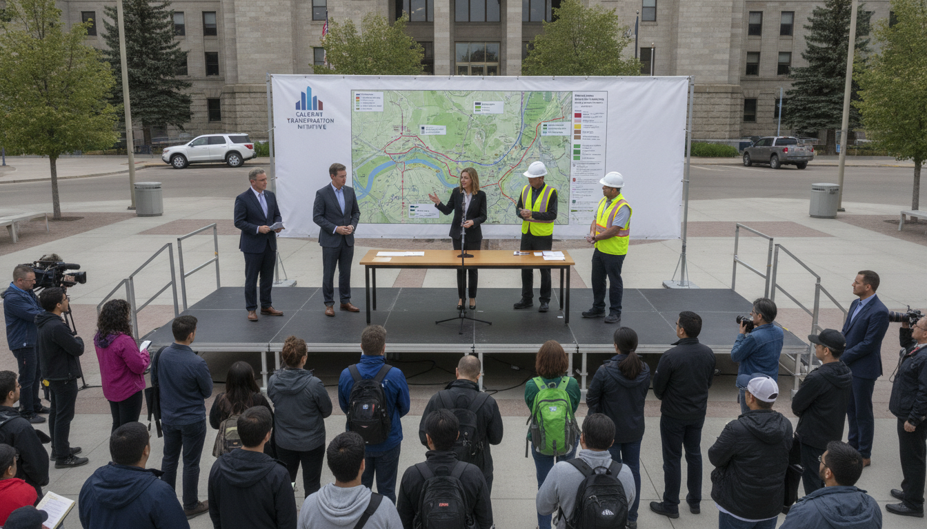
City launches Glenmore trail study to assess environmental, infrastructure and emergency access impacts
Calgary launches Glenmore trail study to assess environmental constraints, dam and water operations, utilities, bridge needs, transit links and emergency access to hospitals.
The city has opened a Glenmore trail study to evaluate how a planned pathway could interact with infrastructure and the natural environment around the Glenmore Reservoir. The study will examine environmental constraints and the operations of the Glenmore Dam and nearby water treatment plant as it maps trail options. Officials say the work will also consider drainage, utility impacts, bridge requirements and property effects as part of a broader planning exercise.
City launches formal study of Glenmore trail options
The study will identify potential alignments for the trail and test how each option would affect city systems and private property. Planners will look at short- and long-term implications to ensure any route meets safety, environmental and operational requirements.
This formal review is intended to provide a clear technical basis for future decisions and to support engagement with landowners, utility companies and emergency services. Findings are expected to inform design standards and potential mitigation measures for sensitive areas.
Environmental constraints and reservoir safety under review
Protecting habitat and water quality around the reservoir is a central focus of the Glenmore trail study. The city will assess vegetation, wildlife corridors and erosion risks to determine where pathways can be routed with minimal ecological disturbance.
Given the proximity to reservoir infrastructure, the study will also examine how trail construction and use could affect water quality and shoreline integrity. Planners will identify buffer zones and construction practices to reduce runoff and sedimentation that could impact the reservoir.
Glenmore Dam and water treatment operations considered
A technical review of Glenmore Dam operations and the adjacent water treatment plant will be part of the study scope. Assessors will map operational footprints, security perimeters and access routes to ensure the trail does not interfere with critical infrastructure.
Any alignment near dam or treatment facilities will be required to respect operational constraints and emergency access needs set by water utilities and provincial regulators. The study will suggest setbacks or design features to preserve uninterrupted water services.
Drainage, utilities and bridge requirements examined
Engineers will evaluate stormwater drainage patterns and how new trail surfaces might alter flows into existing systems. The review will consider the need for culverts, elevated boardwalks or other structures where pathways cross sensitive drainage channels.
Utility corridors and buried services will be inventoried to identify relocation, protection or easement requirements. Where waterways or ravines require crossing, bridge requirements and design options will be tested for feasibility and cost implications.
Property impacts and future growth potential analyzed
The study will map property boundaries and ownership interests to determine land acquisition, easement or licensing needs for each trail alignment. Planners will weigh the potential for impacts to private yards, parks and commercial holdings against public benefits.
Longer-term growth projections will be considered so the trail can integrate with neighbourhood expansion and planned development. This future-looking approach aims to avoid creating constraints that would curtail connectivity as the region grows.
Regional pathways, transit links and hospital access assessed
City staff will examine how the Glenmore trail could tie into existing regional pathways and transit facilities to boost active transportation options. Connections to bus or transit hubs will be evaluated to improve multi-modal access along the corridor.
Emergency services access is a specific consideration, including links to Rockyview General Hospital, where timely routes for ambulances and first responders must be maintained. The study will test whether the trail design supports or hinders emergency movement and recommend adjustments where necessary.
The Glenmore trail study is being positioned as a technical and planning exercise aimed at balancing recreation, mobility and infrastructure protection. Results of the review will guide design choices, identify constraints and outline next steps for consultation and potential construction.
