
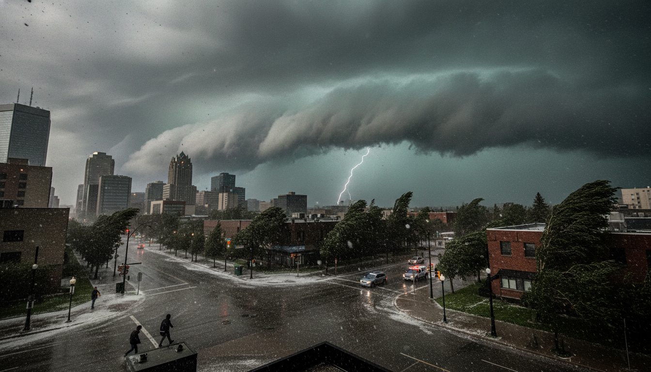
Edmonton thunderstorm watch: Large hail, 100 km/h gusts possible as storms move across Alberta
Environment Canada has issued an Edmonton thunderstorm watch for July 8, 2026, warning of storms that may bring large hail, heavy rain and winds near 100 km/h.
Storm watch issued across central and eastern Alberta
Environment Canada placed the Edmonton area under a yellow thunderstorm watch Wednesday as a frontal system pushes across the province.
The alert covers a broad swath of central Alberta, while eastern parts of the province are on an orange watch that carries a slight tornado risk.
Meteorologists say individual thunderstorms could become severe during the afternoon and early evening hours as the front interacts with warm, moist air.
Timing and primary hazards expected
Forecasters expect storms to develop in the early to mid-afternoon and persist into the evening in some areas.
The principal hazards flagged by Environment Canada include very large hail, torrential downpours and wind gusts approaching 100 km/h.
Hail sizes were described in terms of diameter, with the potential for stones in the several-centimetre range that can damage vehicles, roofs and crops.
Saturated ground increases flood and runoff risk
Edmonton’s flood risk is heightened after an exceptional June that shattered a long-standing monthly rainfall record.
City and provincial emergency planners note the saturated soils and already high runoff levels could amplify local flooding, ponding and drainage problems if heavy rains fall in a short period.
Officials warn that even short-duration downpours on soaked ground can overwhelm storm drains and cause urban flooding.
Local forecast and observed conditions
As of early afternoon, temperatures near 22 C were reported at the Blatchford weather station with northerly winds around 12 km/h.
The forecast for the day calls for a mix of sun and cloud with a 30 per cent chance of showers and an increased risk of severe thunderstorms this afternoon, followed by cooler overnight lows near 11 C.
Wind speeds are expected to shift northwest and pick up to roughly 20 km/h with gusts to about 40 km/h in non-severe conditions, rising markedly if strong storms pass through.
Environment Canada guidance and meteorologist remarks
Environment Canada meteorologists emphasized the elevated threat level and encouraged close monitoring of watches and warnings.
Forecaster comments highlighted the frontal trigger and the strong potential for storm organization, noting larger hail and damaging wind as the main concerns.
Residents are advised to keep mobile devices charged, follow official alerts, and move vehicles and outdoor belongings to sheltered locations where possible.
Impacts on events and municipal services
The thunderstorm watch comes during the city’s summer festival calendar, including outdoor events at Sir Winston Churchill Square through the weekend.
Organizers and city officials say they are prepared to pause or move activities if severe weather approaches and that public-safety messaging will be issued through municipal channels.
Transit and road crews remain on alert for localized flooding and wind-related debris, and residents should expect temporary service interruptions if conditions deteriorate.
The evolving situation underscores the importance of preparedness: secure loose objects, avoid travel during severe downpours, and stay clear of flooded roads.
Monitor Environment Canada bulletins and local emergency updates for watches that may upgrade to warnings if storms intensify.
