
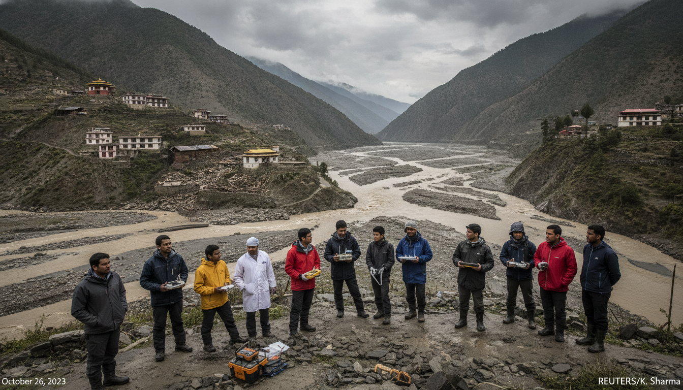
Scientists and officials seek lessons from Nepal-Tibet flood disaster
ICIMOD and international scientists examine causes and response to the Nepal-Tibet flood disaster on Aug 26, 2026, urging reforms to protect Himalayan communities. (159 characters)
The Nepal-Tibet flood disaster that struck on Aug. 26, 2026, has prompted an international review of causes, early warning failures and cross-border response coordination. Scientists and regional officials are focusing on links between extreme weather, mountain hydrology and long-term climate trends as they piece together what triggered the deadly floods. The disaster has become a test case for how Himalayan nations monitor and manage fast-moving mountain hazards.
Scientists examine meteorological and hydrological drivers
Scientists convening in Kathmandu and online say the immediate cause of the floods appears to be an intense, localized precipitation event compounded by rapid snow and ice melt in high-altitude catchments. Researchers including Benjamin Horton of City University of Hong Kong note that short-duration, high-intensity rainfall in steep mountain basins can rapidly overwhelm rivers and channels, producing destructive downstream surges.
Hydrological teams from the International Centre for Integrated Mountain Development (ICIMOD) are analyzing rainfall records, river gauges and satellite imagery to separate the roles of rainfall, snowmelt and possible glacier- or lakes-related outbursts. That forensic work aims to determine whether the event was primarily meteorological, cryospheric, or a combination that amplified flood magnitude.
Glacier and moraine dynamics under scrutiny
Mountain scientists warn that changing glacier conditions can transform once-stable landscapes into sources of sudden floods and debris flows. Wolfgang Cramer, emeritus research director at CNRS, said that thinning glaciers and destabilized moraines increase the likelihood of glacial lake outburst floods and landslides that can cascade into larger river floods.
Teams are mapping glacier-fed lakes, moraine dams and permafrost degradation in the affected basins to identify potential triggers that may not be evident in initial field surveys. Early indications suggest several high-elevation lakes and steep slopes warrant closer monitoring to assess their current stability and downstream risk.
Early warning systems and cross-border coordination gaps
Regional officials and scientists stressed shortcomings in early warning coverage and information sharing between Nepal and China’s Tibet Autonomous Region during the Aug. 26 event. Pema Gyamtsho, director general of ICIMOD, highlighted the need for interoperable real-time monitoring networks and agreed protocols to alert communities across borders.
Experts recommend harmonized gauge networks, shared satellite analytics and pre-agreed thresholds for issuing transboundary alerts so downstream communities can receive timely evacuation notices. Strengthening these mechanisms is seen as essential for mountain basins where rainfall and meltwater generated upstream can reach populated valleys in hours.
Infrastructure, land use and community resilience lessons
Investigators are assessing how infrastructure siting, river training works and recent land-use changes affected the flood’s impact. Road cuts, deforested slopes and settlements built on historic floodplains can worsen vulnerability and channel flows into populated areas.
Local resilience measures — including community-anchored evacuation plans, redundant communications and safer school and health-facility siting — are being prioritized as immediate steps provinces and districts can take. Donor agencies and regional bodies are also discussing targeted investments to retrofit critical infrastructure and restore natural buffers where feasible.
Broader pattern of extreme events this year
Scientists place the Nepal-Tibet flood disaster in the context of an unusually active season of extreme weather across multiple continents in 2026. Heat waves, heavy inland rains and rapid cryosphere changes have produced record floods, widespread landslides and strain on emergency systems in several regions.
Researchers caution that while any single event cannot be attributed solely to climate change without detailed analysis, the increased frequency and intensity of extreme precipitation and melt-driven hazards is consistent with projections for a warming world. That pattern underscores the need for forward-looking adaptation in mountain regions.
Policy changes and monitoring investments proposed
Policy makers and scientific groups are calling for an integrated package of measures including expanded hydrometeorological networks, glacier-lake inventories and community-based early warning programs. ICIMOD and partner institutions are urging donor support to scale monitoring technologies — from automated gauges to high-resolution satellite analysis — and to train local response units.
Longer-term recommendations include updating land-use zoning, enforcing floodplain setbacks and creating finance mechanisms to support rapid rebuilding with resilient standards. Experts stress that investments made now in monitoring, warning and preparedness will reduce the human and economic toll of future mountain floods.
The Nepal-Tibet flood disaster of Aug. 26, 2026, has sharpened attention on how mountain systems respond to extreme weather and how international cooperation can reduce risk. As scientific teams complete their analyses and authorities consider policy reforms, the central lesson emerging is the need to marry better science and monitoring with practical on-the-ground preparedness to protect vulnerable Himalayan communities.
