
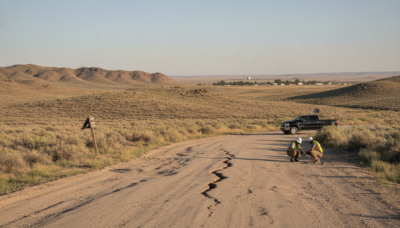
Nevada earthquake: 3.6-magnitude temblor strikes near Yerington, felt regionally
A minor 3.6-magnitude Nevada earthquake struck Wednesday morning near Yerington, Nevada, prompting a brief review by seismologists and updates to U.S. Geological Survey shake maps. The quake, reported by the U.S. Geological Survey, was recorded at 10:20 a.m. Pacific time and located roughly 10 miles northeast of Yerington. (earthquake.usgs.gov)
Minor quake reported near Yerington
The temblor registered as a relatively small seismic event and posed little immediate threat of structural damage in the sparsely populated area. Residents in nearby communities reported light shaking consistent with a shallow, low-magnitude event, while authorities did not issue any emergency warnings. (usgs.gov)
Location and timing
According to seismic data released publicly, the epicenter was situated about 10 miles northeast of Yerington in Lyon County, Nevada, at 10:20 a.m. Pacific time on Wednesday. The initial magnitude was listed as 3.6 by the U.S. Geological Survey, which maintains real-time monitoring of seismic activity across the region. (earthquake.usgs.gov)
Seismological agencies often publish preliminary locations and magnitudes within minutes of an event, then refine those numbers as additional station data are processed. That process can lead to small upward or downward adjustments to the reported magnitude and depth. (usgs.gov)
Shake intensity and felt area
Shake maps produced after the quake showed zones of weak shaking around the epicenter, consistent with a shallow, low-magnitude event. The U.S. Geological Survey uses the Modified Mercalli Intensity scale to translate instrument readings into expected human perceptions, and a shake intensity of about III or lower is typically described as “weak.” (earthquake.usgs.gov)
Because shaking intensity falls off with distance and local geology influences how ground motion is felt, communities farther from the epicenter may have experienced light rattling while those closest to Yerington would have felt the strongest motion. Officials cautioned that aftershock mapping and further station reports could slightly alter the contours of affected areas. (earthquake.usgs.gov)
Seismologists’ review and data updates
The U.S. Geological Survey noted that seismologists would review all available waveform and station data to confirm the initial readings and to produce finalized products, including updated shake maps and aftershock listings. Preliminary magnitudes are commonly revised as additional seismic stations contribute data and automated algorithms are checked by analysts. (usgs.gov)
ShakeMap products and community intensity reports are also updated when new information becomes available, allowing a clearer picture of ground motion distribution and any localized impacts. These updates enable emergency managers and local authorities to assess whether any follow-up action is required. (earthquake.usgs.gov)
Regional seismic context
Yerington and the surrounding portions of western Nevada lie within a seismically active region influenced by the broader Basin and Range tectonic province, where crustal stretching generates frequent small to moderate earthquakes. The Nevada Seismological Laboratory and the U.S. Geological Survey maintain monitoring networks that capture frequent low-magnitude events in the area. (seismo.unr.edu)
Larger historical events have occurred in Nevada in recent months and years, underscoring the state’s ongoing seismicity; however, most recorded tremors are small and create little more than brief, perceptible shaking in local communities. Emergency preparedness guidance from seismic authorities emphasizes securing heavy items and being aware of safe actions during a quake. (apnews.com)
Local officials said there were no immediate reports of injuries or structural damage in Lyon County following Wednesday’s quake. Road closures and infrastructure checks were not reported as a consequence of the event, and utility providers did not announce outages linked to the tremor. (earthquake.usgs.gov)
The U.S. Geological Survey and regional seismology centers will continue to monitor the area for any aftershocks and will publish revised products if new data warrant adjustments to the initial magnitude, depth, or shake-intensity maps. (usgs.gov)
Residents with concerns about local shaking or minor damage were advised to consult county emergency resources and the U.S. Geological Survey’s event pages for the latest technical updates and community-reported intensity information. Preparatory measures such as securing heavy furniture and maintaining an emergency kit remain the best practical steps for households in quake-prone areas.
